Teaching Geodesy
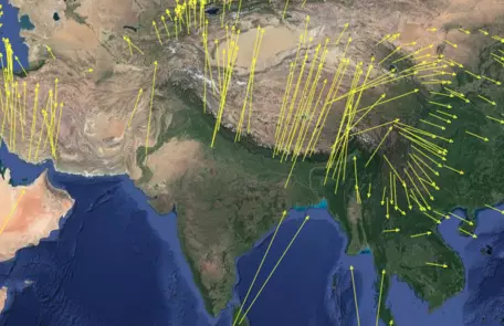
Over the last century, geodesy has developed from fairly simple surveying technologies, which helped to accurately determine positions on Earth, to a complex toolbox of methods now available to scientific researchers and students. Methods in the geodesy toolbox include GPS/GNSS, lidar, gravity, strainmeters, altimetry, InSAR, and structure from motion (SfM). In recent decades, geodetic applications have rapidly expanded from measuring plate motions and monitoring earthquake hazards to include research on volcanic, landslide, and weather hazards; climate change; and water resources.
Learn more from these videos: Brief History of Geodesy and 9 Impacts of Geodesy.
Resources in this collection span undergraduate and secondary level and have resources for both classroom and field courses.
Jump down to: Course Design & Pedagogy | Resource Collections | Workshops & Events | Get Involved
GEophysics Tools for Societal Issues - large collection of geodesy and geophysics teaching resources
Designing an Effective Geodesy Course
1. Set goals
Learn more about setting effective course goals in the Course Design Tutorial. You can also explore course goals from others' courses using the syllabi available in the course collection.
2. Consider assessment options
Aligning your assessment strategies with the goals of your course is critical. You can learn more about assessing student learning both as part of the Course Design Tutorial and through our module on Assessing Student Learning.
3. Select pedagogies and teaching activities

![[creative commons]](/images/creativecommons_16.png)
Resource Collections
Once you've identified the core learning goals for your course, you can use them to focus your search for relevant materials in our resource collections. The resource collections listed below reflect the contributions of faculty members from across the country.
- Course descriptions contributed by faculty for courses involving geodesy, including course syllabi and goals.
- Teaching activities involving geodesy, contributed by faculty members and several geodesy-oriented curriculum projects.
- Other educational resources, including websites, hands-on demonstrations, and papers related to geodesy.
- Visualizations including animations, images, diagrams, and short movies.
Workshops and Events

- GEophysics Tools for Societal Issues (GETSI) project has run a wide variety of in-person and virtual workshops as well as webinars for instructors and teaching assistants of undergraduate students.
- EarthScope Alaska Native Geoscience Learning Experience (ANGLE) has run workshops, that include geodesy data activities for understanding Alaskan geohazards. Primary audience has been secondary teachers, informal educators, and emergency management educators.
- 2010 Teaching Geodesy in the 21st Century workshop - A follow-on to the 2007 On the Cutting Edge Geophysics workshop, this workshop, sponsored by UNAVCO, focused on applications of geodesy to different subdisciplines of Earth science. During the workshop, participants worked together to develop interactive, engaging learning material for students, and helped identify aspects of geodesy to be included in introductory college level geology education. (learn more about the follow-on workshop series from On the Cutting Edge).
Get Involved
- Contribute Materials: We encourage faculty to contribute course descriptions, teaching activities, visualizations, and references to continue to build our collections.
- Join the email list of faculty who teach geodesy or read the archives of email list discussions.