Shoreline Geomorphology Lab
Summary
Students will observe shoreline processes, sketch and describe beach and barrier island profiles, and investigate the impact of development and shoreline control structures on beaches.
Context
Audience
Undergraduate elective course in geology
Skills and concepts that students must have mastered
- basic understanding of shoreline processes
How the activity is situated in the course
Stand alone field exercise
Goals
Content/concepts goals for this activity
- Understanding of geomorphic processes acting on the beach
- Identifying parts of the beach and beach deposits
- Identifying parts of the beach and beach deposits
Higher order thinking skills goals for this activity
- relating current shoreline processes to past beach features
- understanding how shoreline processes can impact beach front development
- understanding how shoreline processes can impact beach front development
Other skills goals for this activity
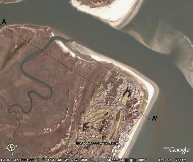
- reading and locating points on an aerial photograph
- preparing a technical write up of the beach, a description of the processes observed, and how those processes impact shoreline development
- preparing a technical write up of the beach, a description of the processes observed, and how those processes impact shoreline development
Description of the activity/assignment
Students will travel to a local barrier island (usually Sullivan's Island) to study shoreline processes and their impact on beach front development. Students will begin on the inland side of the island, and traverse the island to the beach. Once at the beach, students will make a field profile of the area they traversed, as well as a profile sketch of the beach, showing all major parts of the beach. Students will then observe the geomorphic processes acting on the shoreline and how those processes impact the beach and beach front structures. Shoreline erosion control and protection structures will be pointed out to the students, and the impacts of the structures will be discussed. After returning from the field, the students will prepare a series of profiles of the barrier island and beach, as well as a write-up of the processes they observed and the impacts of those processes.
Designed for a geomorphology course
Uses online and/or real-time data
Uses geomorphology to solve problems in other fields
Designed for a geomorphology course
Uses online and/or real-time data
Uses geomorphology to solve problems in other fields
Determining whether students have met the goals
Observation of student work in the field and student participation of discussions in the field will help determine the student understanding. Additionally, the final paper submitted for the exercise with be graded to determine student understanding of the exercise.
More information about assessment tools and techniques.Teaching materials and tips
- Activity Description/Assignment (Acrobat (PDF) 17kB May2 08)
- Instructors Notes (Acrobat (PDF) 11kB May2 08)
- Solution Set (Acrobat (PDF) 6kB May2 08)
Share your modifications and improvements to this activity through the Community Contribution Tool »
Other Materials
- example of imagery given to students for profile generation (Acrobat (PDF) 71kB May2 08)
Supporting references/URLs
Google Earth for imagery of the island.