Teaching Materials
Module Overview
PolarPASS modules use authentic data and imagery and creative activities to assist students with learning while exploring the land and ice near Kangerlussuaq, Greenland.
 Module 1: Exploring the Glacier Basin System
This Module consists of five Units, walking students through an overview of the glacier basin system, exploring glacier mass balance, albedo, and surface melt, and looking inside and underneath the glacier. The Units also cover the transition from the glacier margin to land and system responses to climate change.
 Module 2: Long-term Spatial Transformations of the Glacier Basin System
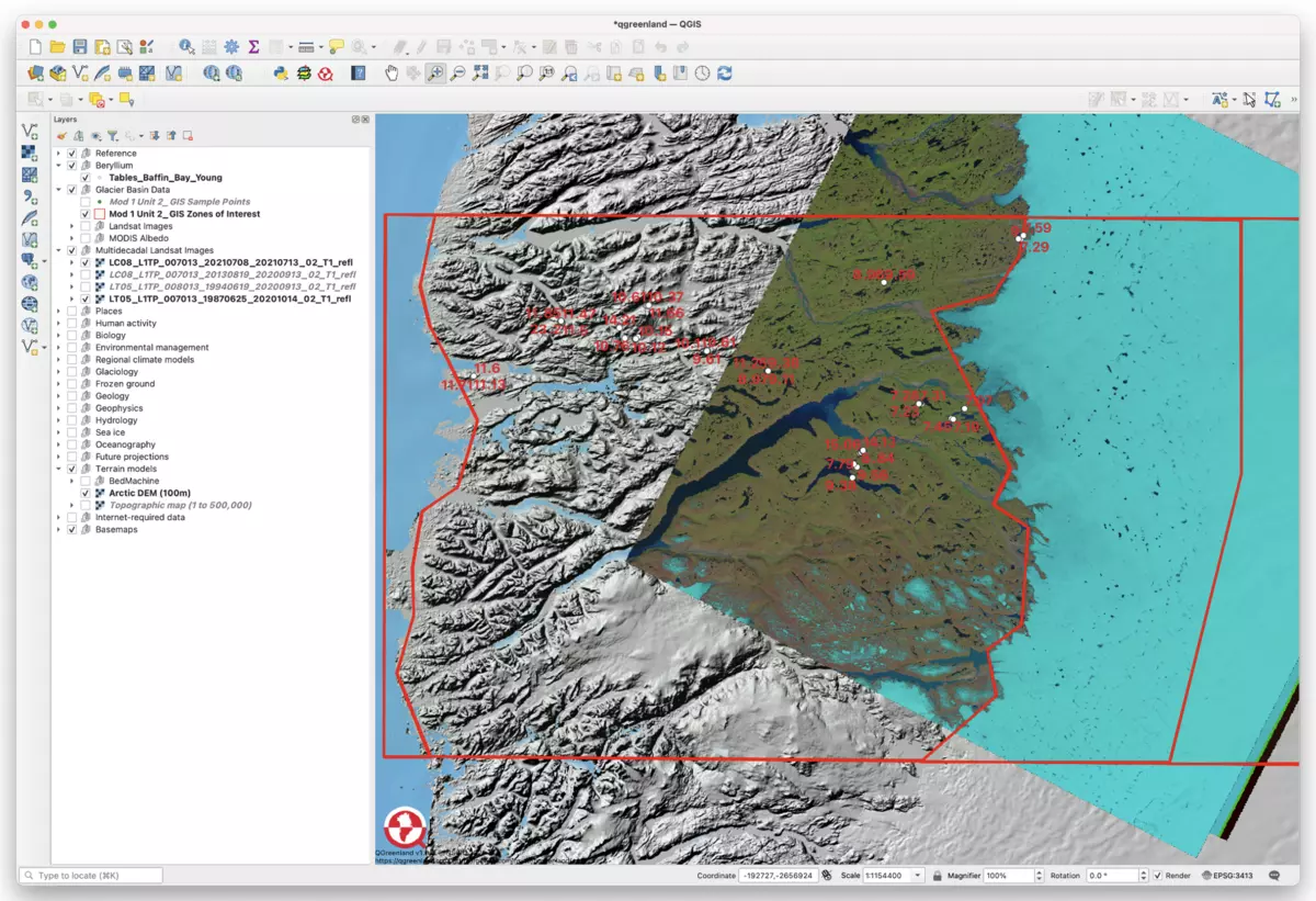
Module 2 is designed to follow after Module 1. Instructors may choose to use Module 2 independently, but may want to consider some additional introductory materials if they are not beginning with Module 1. Module 2 consists of four Units. The Units begin by exploring past ice margin retreat and processes of ice margin retreat and elevation change. The material then explores natural climate variability and anthropogenic forcings, and then examines potential future ice margin response to climate change.
Key Elements
All PolarPASS modules emphasize use of 360-degree interactive environments and GIS software.
360-degree Interactive Environments
PolarPASS has developed a series of interactive environments using immersive imagery and video collected in the field in Greenland. The environments only require a computer and internet, and lead students through the town of Kangerlussuaq and the glaciated environments nearby. All PolarPASS 360-degree interactive environment website links are provided within the curriculum and also available together via the CIRES Center for Education, Engagement and Evaluation website.

![[creative commons]](/images/creativecommons_16.png)
Geographic Information System (GIS) Learning
There are many valuable applications for GIS skills in today's workforce. PolarPASS modules incorporate GIS learning via the use of the open source QGIS software. For Modules 1 and 2, PolarPASS also uses the QGreenland data package, which provides students with a rich environment of authentic scientific data. New to GIS? QGIS and QGreenland have extensive tutorial information and PolarPASS GIS activities have been successfully taught by educators who are themselves new to GIS software.