
Unit A: Streamflow
by Venkatesh Merwade, Purdue University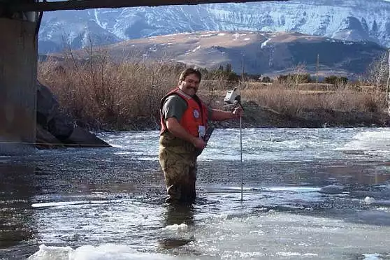
Summary
Students use the USGS streamflow database to download measured stages and flow data. Working with these data, students use Excel to create several plots, including a stage-discharge rating curve. Students repeat this activity with an urban and a rural watershed to consider seasonal trends and land use effects.
Context for Use
This unit is intended for upper level undergraduate or lower level graduate students in hydrology, environmental engineering/sciences and geology/earth sciences.
Hydrologic Concepts
In this module, students will learn the following hydrologic concepts:
- Streamflow hydrograph
- Stage-discharge rating curve
- Discharge probability distribution plot
- Flow duration curve
- Effect of land use, topography, and climate on streamflow characteristics
- Seasonality of streamflow
Hydrology Learning Outcomes
- Plotting of streamflow data in various forms
- Understand the effect of seasons on stream discharge during different times of the year
- Students will be able to compare and contrast streamflow characteristics in urban and rural areas, and consider the effect of land use on stream discharge
- Understand the relationship between streamflow and stage
Data and Computational Learning Outcomes
- Navigation through USGS National Water Information System (NWIS) database to access real-time or archived stream flow data for any location in the US
- Convert data from tab separated file to an MS Excel file
- Calculate mean, standard deviation and variances
- Creating several types of graphs including a hydrograph, histogram, flow duration curve, probability plot and a stage-discharge curve
- Student will be able to create a probability distribution curve for streamflow data
- Student will be able to create flow duration curve for streamflow data data
- Download stream discharge data in a tab-separated format
- Import the data into Excel
- Discuss uncertainty that is implicit in the stage-discharge relationship
Data Skills
Students will learn the following data manipulation skills:Data Sources and Type
- The data for this activity is accessed from the USGS website.
- Data is downloaded in tab-separated format and imported into Excel.
- If desired, students could use any data that shows stream discharge (volume over time) and stage (height) over a period of a year or more.
- In order to consider the effects of land use patterns, data from an urban watershed and a rural watershed are needed.
- Using Excel, students perform calculations, create graphs and answer questions based on their plots.