EarthLabs
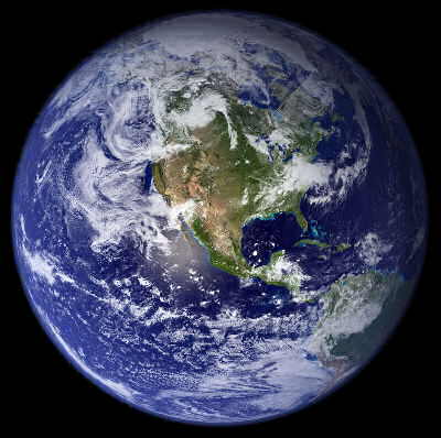
This spectacular “blue marble” image is the most detailed true-color image of the entire Earth to date. Using a collection of satellite-based observations, scientists and visualizers stitched together months of observations of the land surface, oceans, sea ice, and clouds into a seamless, true-color mosaic of every square kilometer (.386 square mile) of our planet. http://visibleearth.nasa.gov/view.php?id=57723
![[creative commons]](/images/creativecommons_16.png)
Provenance: NASA Goddard Space Flight Center Image by Reto Stöckli (land surface, shallow water, clouds). Enhancements by Robert Simmon (ocean color, compositing, 3D globes, animation). Data and technical support: MODIS Land Group; MODIS Science Data Support Team; MODIS Atmosphere Group; MODIS Ocean Group Additional data: USGS EROS Data Center (topography); USGS Terrestrial Remote Sensing Flagstaff Field Center (Antarctica); Defense Meteorological Satellite Program (city lights).
Reuse: This item is offered under a Creative Commons Attribution-NonCommercial-ShareAlike license http://creativecommons.org/licenses/by-nc-sa/3.0/ You may reuse this item for non-commercial purposes as long as you provide attribution and offer any derivative works under a similar license.
Earth and environmental science classes are changing. Long perceived as low-level courses with little to engage or challenge students, they are becoming vital, rich, invigorating courses. As more humans recognize that our planet's resources are being stressed, these Earth and environmental science classes are receiving more interest and they are now being taught as true laboratory science courses.
In keeping with this transformation, the EarthLabs project provides a national model for rigorous, engaging Earth and environmental lab science courses. These units illustrate a sequence for learning science concepts through data analysis activities, satellite imagery and computer visualizations, and hands-on experiments that illustrate processes of our Earth system.
