The file is referred to in 1 page
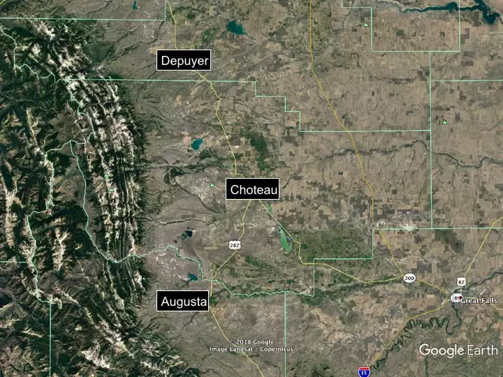
- Geographic Setting
https://serc.carleton.edu/research_education/mt_geoheritage/sites/augusta_choteau/geog_setting.html
Provenance
Image obtained from Google Earth.
ReuseThis item is offered under a Creative Commons Attribution-NonCommercial-ShareAlike license
http://creativecommons.org/licenses/by-nc-sa/3.0/ You may reuse this item for non-commercial purposes as long as you provide attribution and offer any derivative works under a similar license.