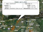
This website catalogs all the tornado paths in the United States since 1950. The tornado path data is overlaid onto a Google Maps base for easy browsing and manipulation of the map view. Clicking on individual tornados provides the user with information such as its Fujita rating, the amount of damage caused by the tornado, the size of the path that the tornado made, and the length of time the tornado was on the ground.
This description of a site outside SERC has not been vetted by SERC staff and may be incomplete or incorrect. If you
have information we can use to flesh out or correct this record let us know.
This resource originally cataloged at: