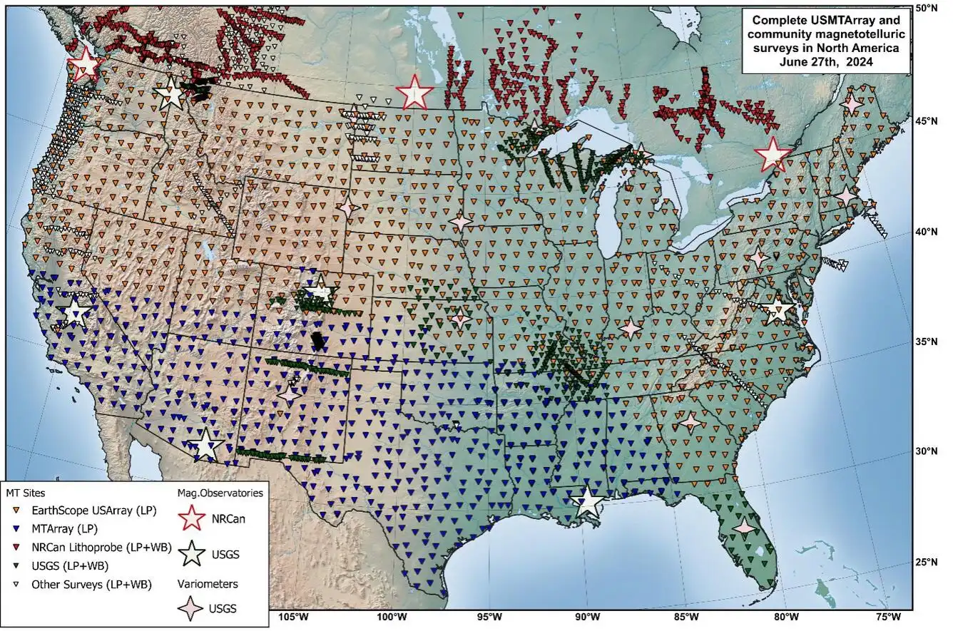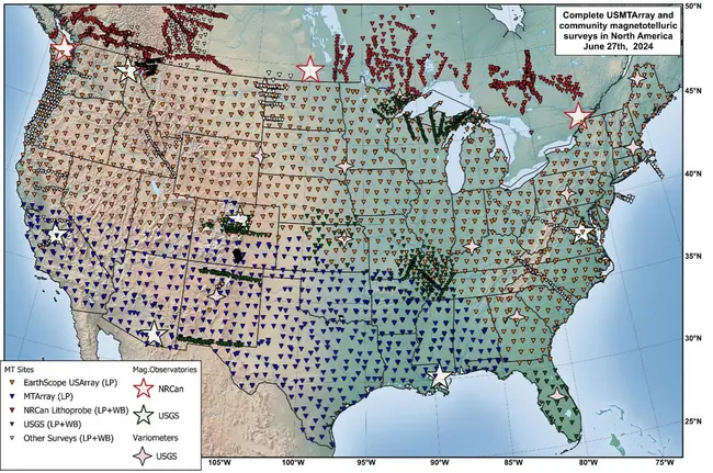
View Original Image at Full SizeLocations comprising the MTArray (2006-2024). Figure by USGS.
Originally uploaded in GETSI.
Image 361156 is a 885 by 1336 pixel WebP
Uploaded:
Jun27 26
Last Modified: 2026-06-29 15:23:44
Permanent URL: https://serc.carleton.edu/download/images/361156/mtarraymap.webp
The file is referred to in 1 page
Provenance
U.S. Geological Survey, Communications and Publishing
Reuse
This item is in the public domain
and maybe reused freely without restriction.