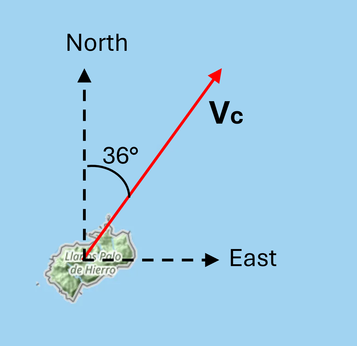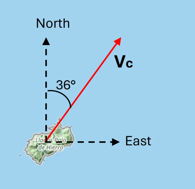
View Original Image at Full SizeA map of the Cocos Island GPS vector (Vc) in red with the directions North and East labled with black dashed arrows
Originally uploaded in Math You Need - Majors:Vectors.
Image 359813 is a 1117 by 1153 pixel WebP
Uploaded:
Sep23 26
Last Modified: 2026-09-23 12:34:04
Permanent URL: https://serc.carleton.edu/download/images/359813/cocosisland_1.v2.webp
The file is referred to in 1 page
- Vectors
https://serc.carleton.edu/mathyouneed/geomajors/vectors/index.html
Provenance
Eric Baer, Highline College
ReuseThis item is offered under a Creative Commons Attribution-NonCommercial-ShareAlike license
http://creativecommons.org/licenses/by-nc-sa/3.0/ You may reuse this item for non-commercial purposes as long as you provide attribution and offer any derivative works under a similar license.