
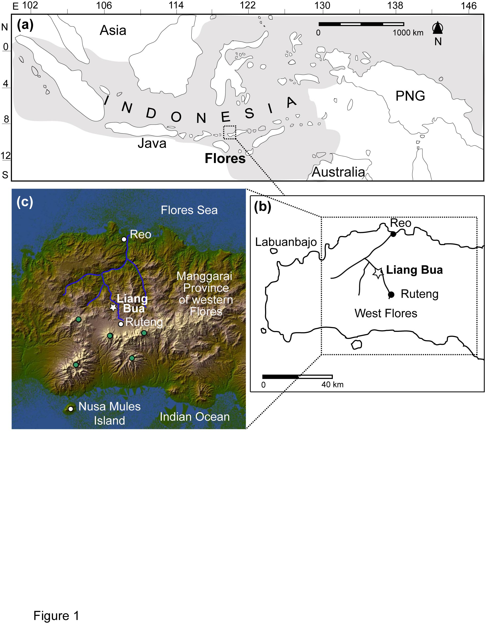
Figure 1: (a) The Indonesian archipelago. (b) A map of western Flores
showing the location of Ruteng and Liang Bua (white star). (c) A LANDSAT
image of western Flores and the study region. Source: Westaway et al.
(2009).
Image 16602 is a 2454 by 1906 pixel WebP
Uploaded:
Oct15 09