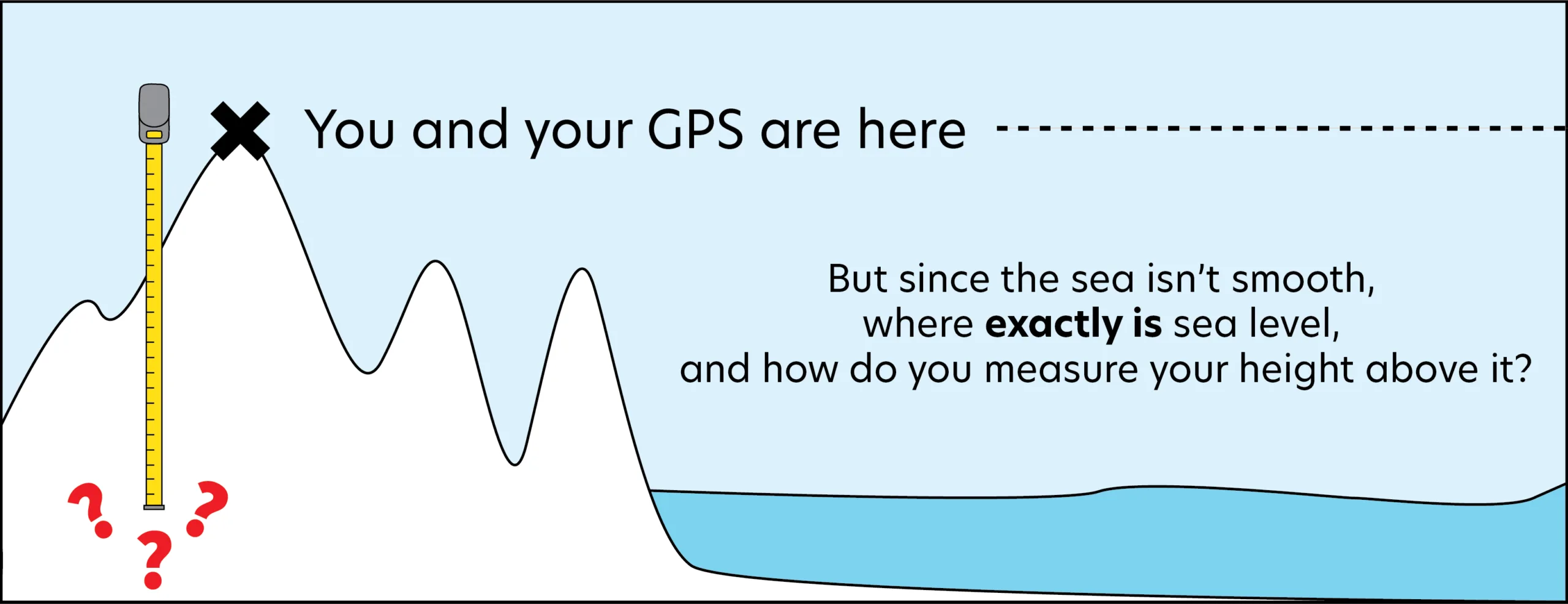
View Original Image at Full SizeIllustration of mountains next to the ocean, with an X at the peak marked "You and your GPS are here". A tape measure extends downward, and text reads "But since the sea isn't smooth, where exactly is sea level, and how do you measure your height above it?"
Image 361865 is a 986 by 2560 pixel WebP
Uploaded:
Aug12 26
Last Modified: 2026-08-12 13:21:22
Permanent URL: https://serc.carleton.edu/download/images/361865/tape_measure_elevation-scaled.webp
The file is referred to in 1 page
Provenance
Gabrielle Troia (EarthScope)
ReuseThis item is offered under a Creative Commons Attribution-NonCommercial-ShareAlike license
http://creativecommons.org/licenses/by-nc-sa/3.0/ You may reuse this item for non-commercial purposes as long as you provide attribution and offer any derivative works under a similar license.