Google Maps - Mars Tools for Interactive Analysis
Originally uploaded in Pedagogy in Action:Library:Teaching with Google Earth.
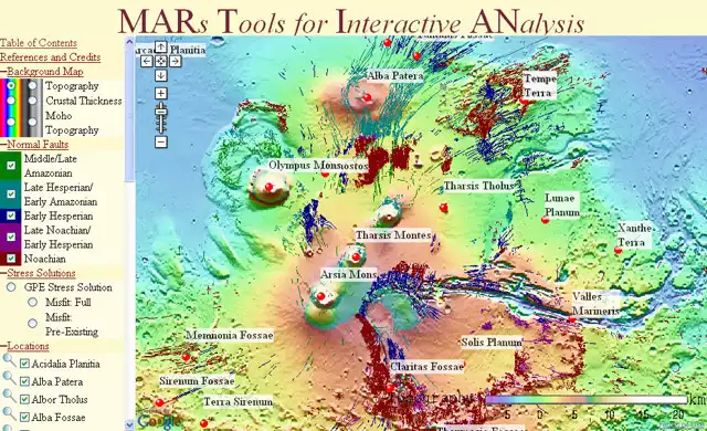
Image 13244 is a 390 by 640 pixel WebP
Uploaded:
Nov20 08
Last Modified: 2008-11-20 11:20:33
Permanent URL: https://serc.carleton.edu/download/images/13244/google_maps_mars_tools.v3.webp
The file is referred to in 1 page
- Google Maps
https://serc.carleton.edu/sp/library/google_earth/google_maps.html
Provenance
Glenn Richard, Stony Brook University
ReuseThis item is offered under a Creative Commons Attribution-NonCommercial-ShareAlike license
http://creativecommons.org/licenses/by-nc-sa/3.0/ You may reuse this item for non-commercial purposes as long as you provide attribution and offer any derivative works under a similar license.
