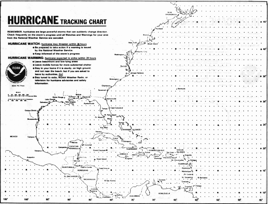
Students can use this map to track the progress of hurricanes and tropical storms in the western Atlantic Ocean and Carribean Sea. It includes descriptions of hurricane watch and warning conditions.
This description of a site outside SERC has not been vetted by SERC staff and may be incomplete or incorrect. If you
have information we can use to flesh out or correct this record let us know.
Subject: Geoscience:Atmospheric Science, Atmospheric Science:Meteorology:Extreme weather, Environmental Science:Natural Hazards:Extreme Weather:Hurricanes Resource Type: Audio/Visual:Maps Special Interest: Hazards Grade Level: High School (9-12) Theme: Teach the Earth:Teaching Topics:Weather, Teach the Earth:Course Topics:Atmospheric Science, Teach the Earth:Incorporating Societal Issues:Hazards, Teach the Earth:Course Topics:Environmental ScienceKeywords: Latitude, Longitude, Landfall, Safford-Simpson scale

