Day 3—Quantify Observations by Calibrating and Measuring Images

Remote sensing images fascinate us with their beauty and unique perspective, as well as the stories they tell. However, without tools designed to measure and analyze these images, they are often just pretty pictures. We may get a qualitative sense of what's going on, but science requires a quantitative analysis as well.
On Day 2, you learned to stack images. An advantage of stacking images to make measurements is that when you select an area to measure on one slice of the stack, that selection automatically applies to all slices in the stack. This guarantees that you are measuring the exact same part of the image in every slice. Also, processes such as thresholding apply to all of the slices of the stack.
Day 3 Goals
- Quantify observations of digital images by making distance and area measurements.
- Understand how to calibrate and analyze images in which pixel values represent real world measures, such as temperature or reflectance.
- Share your ideas on using digital images and measurement in your classroom.
Day 3 Tasks
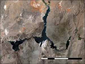
- Locate and download a remote-sensed image, spatially calibrate it in ImageJ, and add a scale bar to it, if necessary.
- Density calibrate and make measurements on an image downloaded from NASA NEO.
- Contribute to an online discussion about how you could integrate image calibration and measurement in your curriculum.
